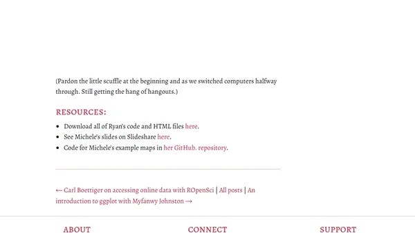
Making Maps in R with Ryan Peek and Michele Tobias
A tutorial on creating maps using R, based on a presentation by Ryan Peek and Michele Tobias at the Davis R Users' Group.
Developer fixes coordinate conversion accuracy in a GeoCoordConversion DLL used for Ordnance Survey data import, releasing an updated version.
Analyzing a coordinate conversion accuracy issue in an Ordnance Survey data import project using SQL Server and a third-party GeoCoordConversion library.
A developer shares a public-domain SVG world map for visualizing country-specific data, created as a static alternative to matplotlib basemap.