AI on Street View
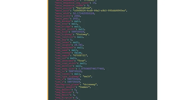
Read OriginalThis technical article details the process of downloading and analyzing the 'Global Streetscapes' dataset, which uses AI to label over 300 characteristics from 10 million street view images across 688 cities. It covers the author's high-spec workstation setup, installation of prerequisites like Python and DuckDB with extensions, and the initial steps for data examination, making it a guide for working with large-scale, AI-processed geospatial datasets.
0 comments
Comments
No comments yet
Be the first to share your thoughts!
Browser Extension
Get instant access to AllDevBlogs from your browser
Top of the Week
1
The Beautiful Web
Jens Oliver Meiert
•
2 votes
2
When your coding agent doesn’t understand your project, you’ll get junk
Benjamin Cane
•
1 votes
3
LLM Use in the Python Source Code
Miguel Grinberg
•
1 votes
4
Wagon’s algorithm in Python
John D. Cook
•
1 votes
5
An example conversation with Claude Code
Dumm Zeuch
•
1 votes